Limited Edition Artwork
Support the Trail. Own a Piece of the Canyon.
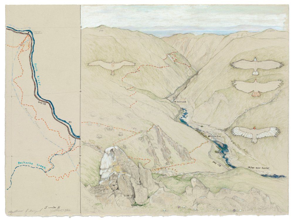
Matthew Rangel is a California-based artist whose work sits at the intersection of fine art, cartography, and natural history. He is best known for his large-scale, hand-drawn panoramic landscapes of the Sierra Nevada, California's mountain ranges, and the American West — works that blend scientific observation with artistic vision to capture places in profound detail.
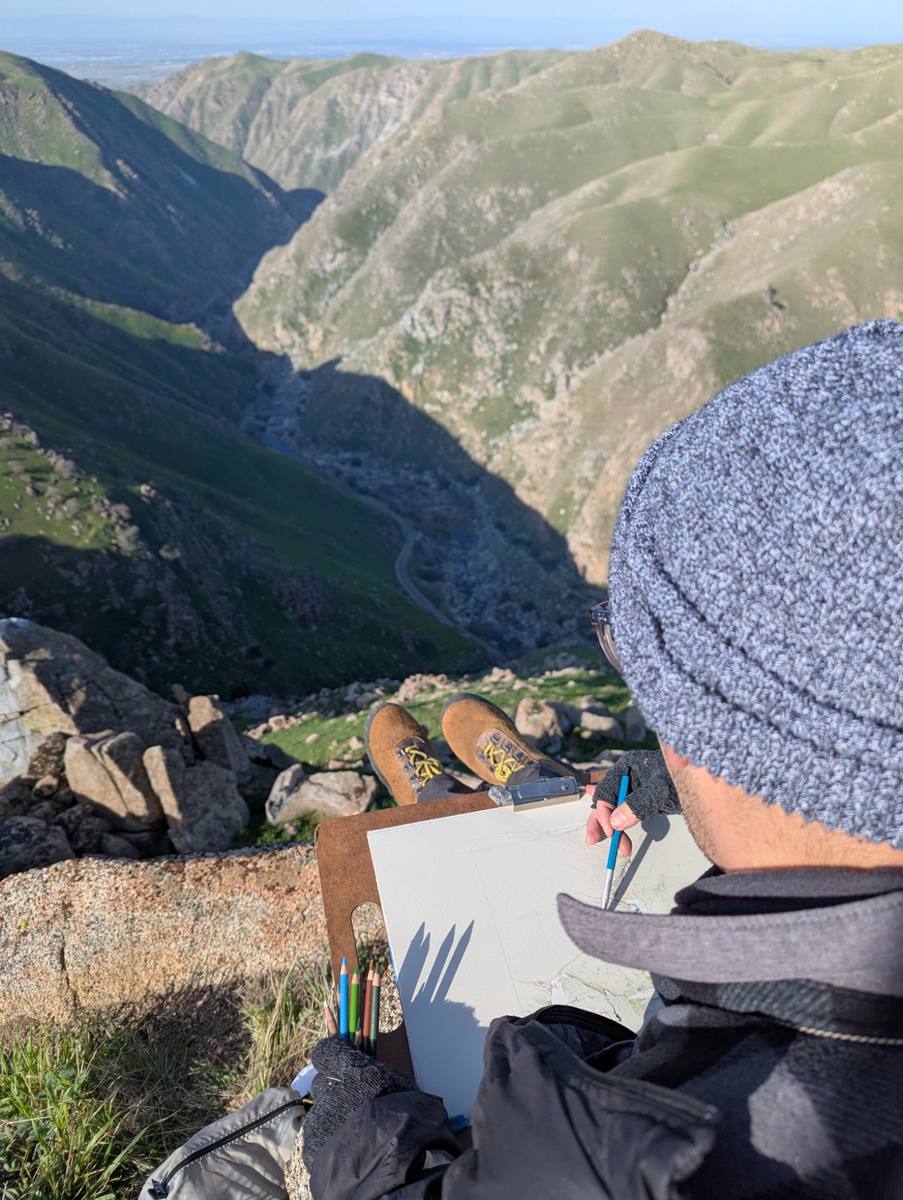
Matthew's prints are collected and exhibited nationally. His practice is rooted in deep, firsthand engagement with wild landscapes — he regularly undertakes extended expeditions into the backcountry to draw directly from the terrain he depicts.
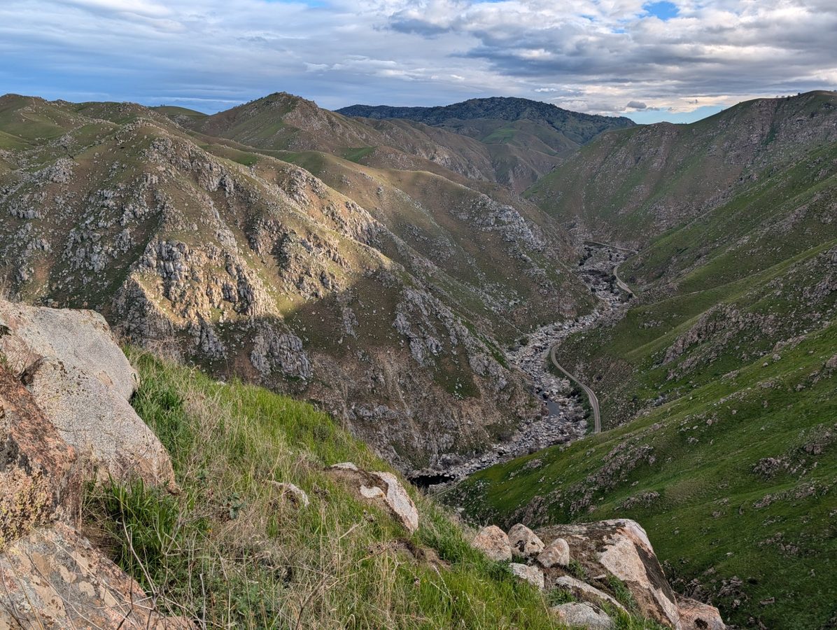
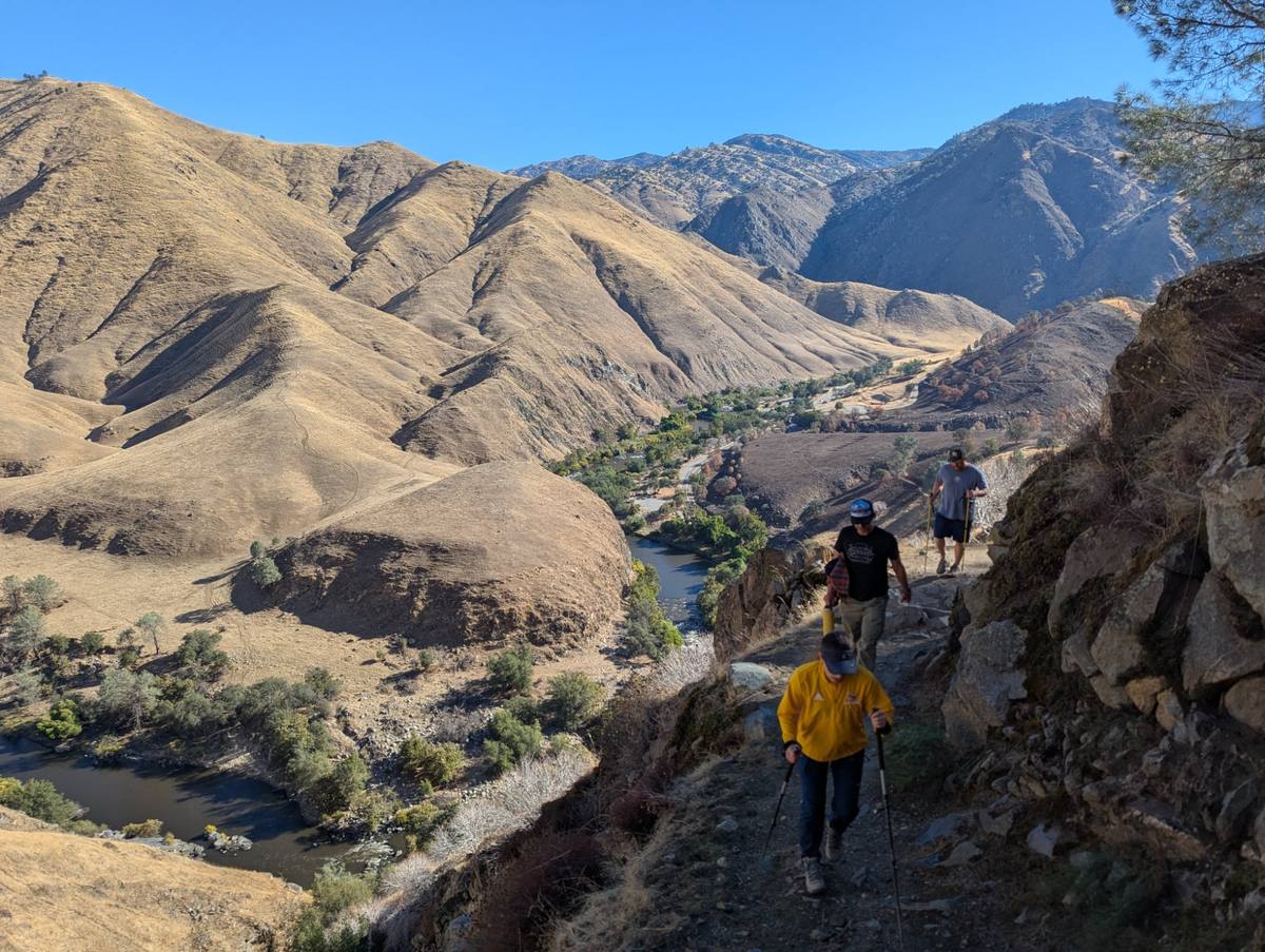
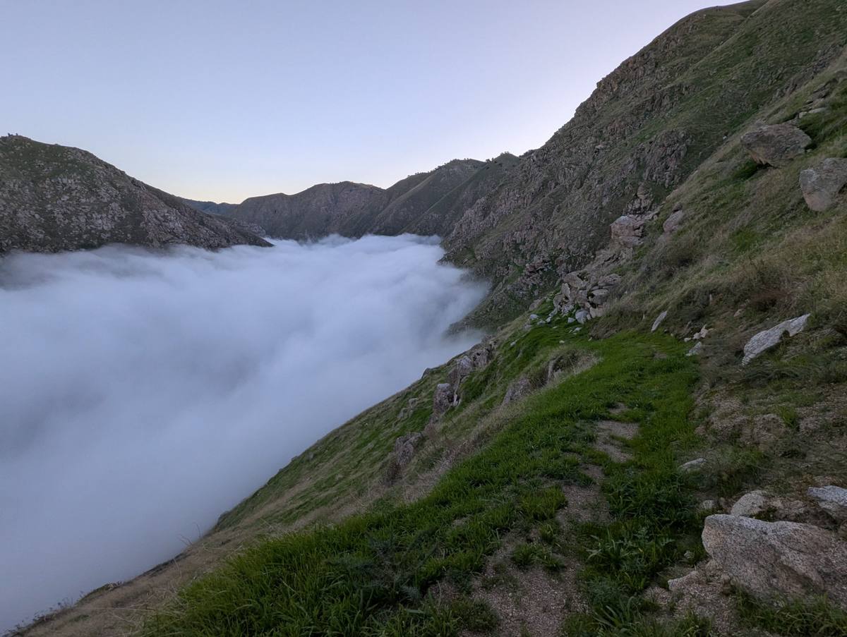
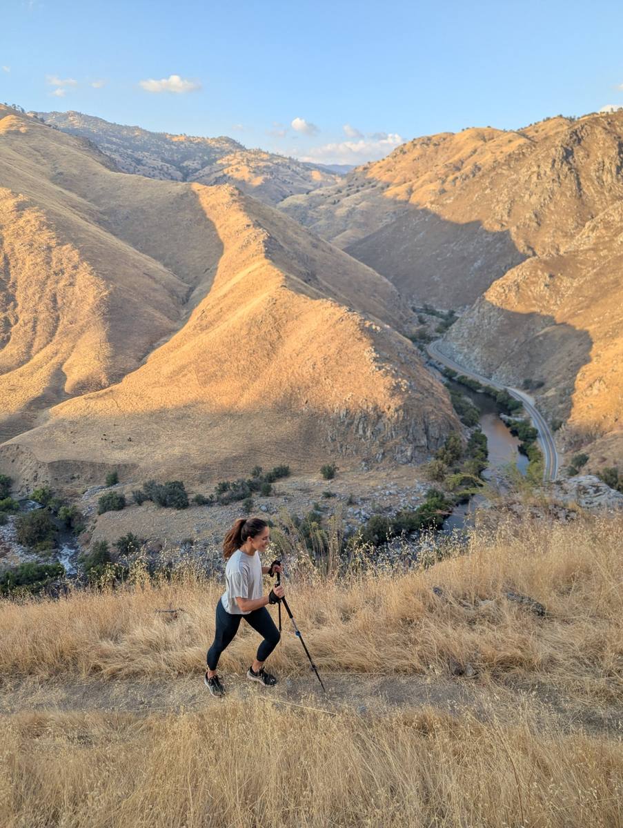
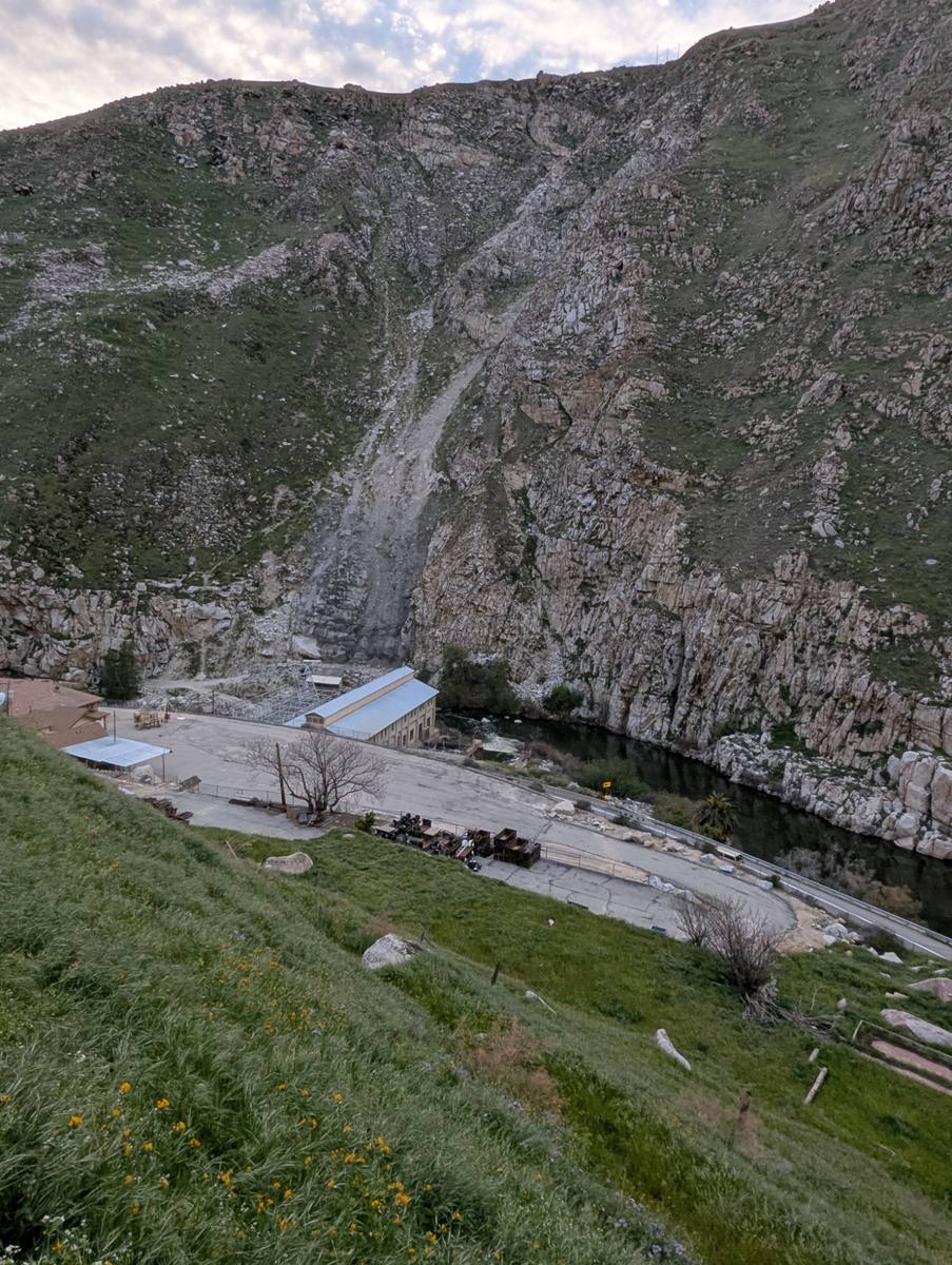
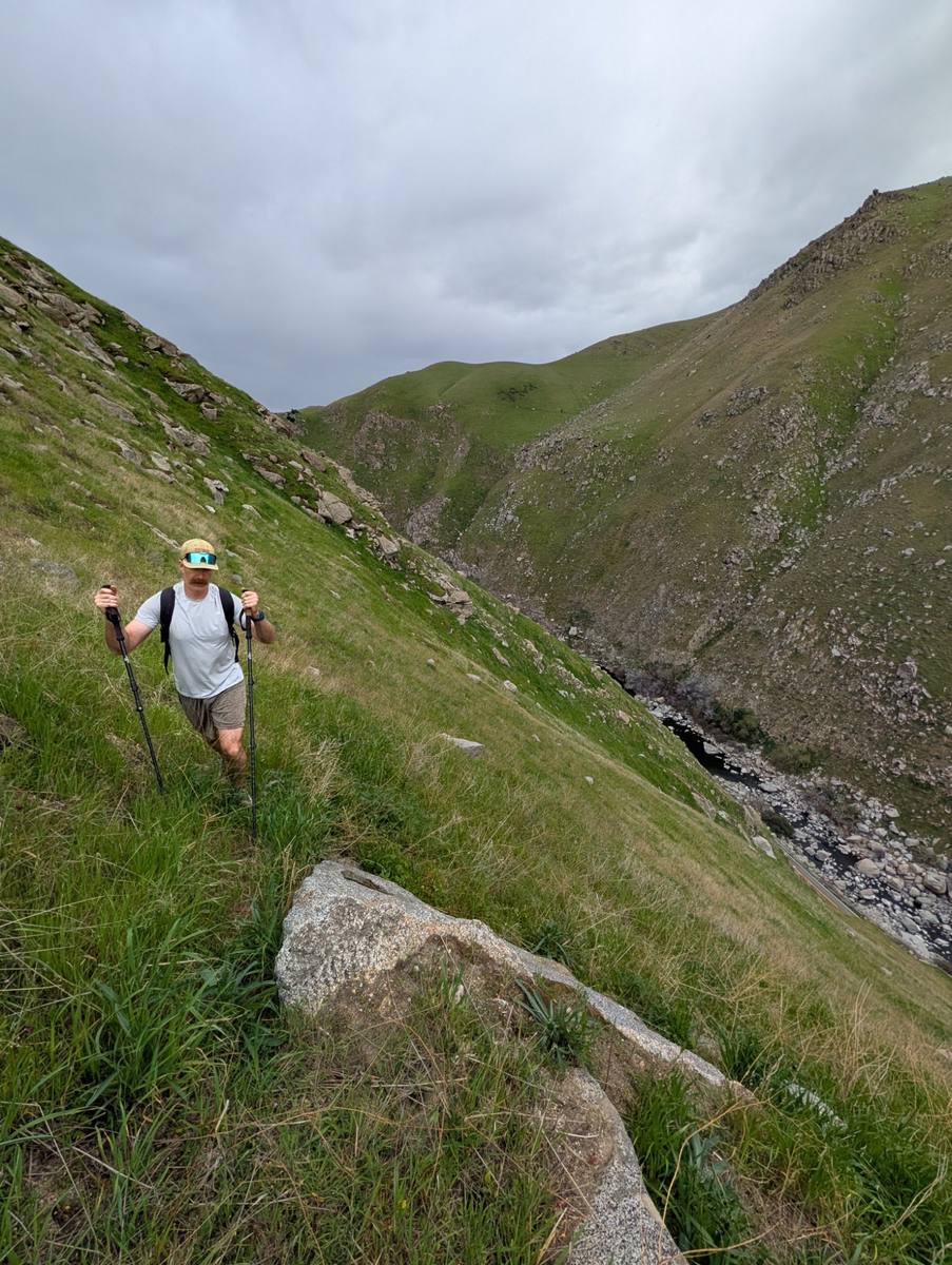
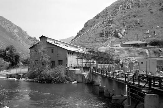
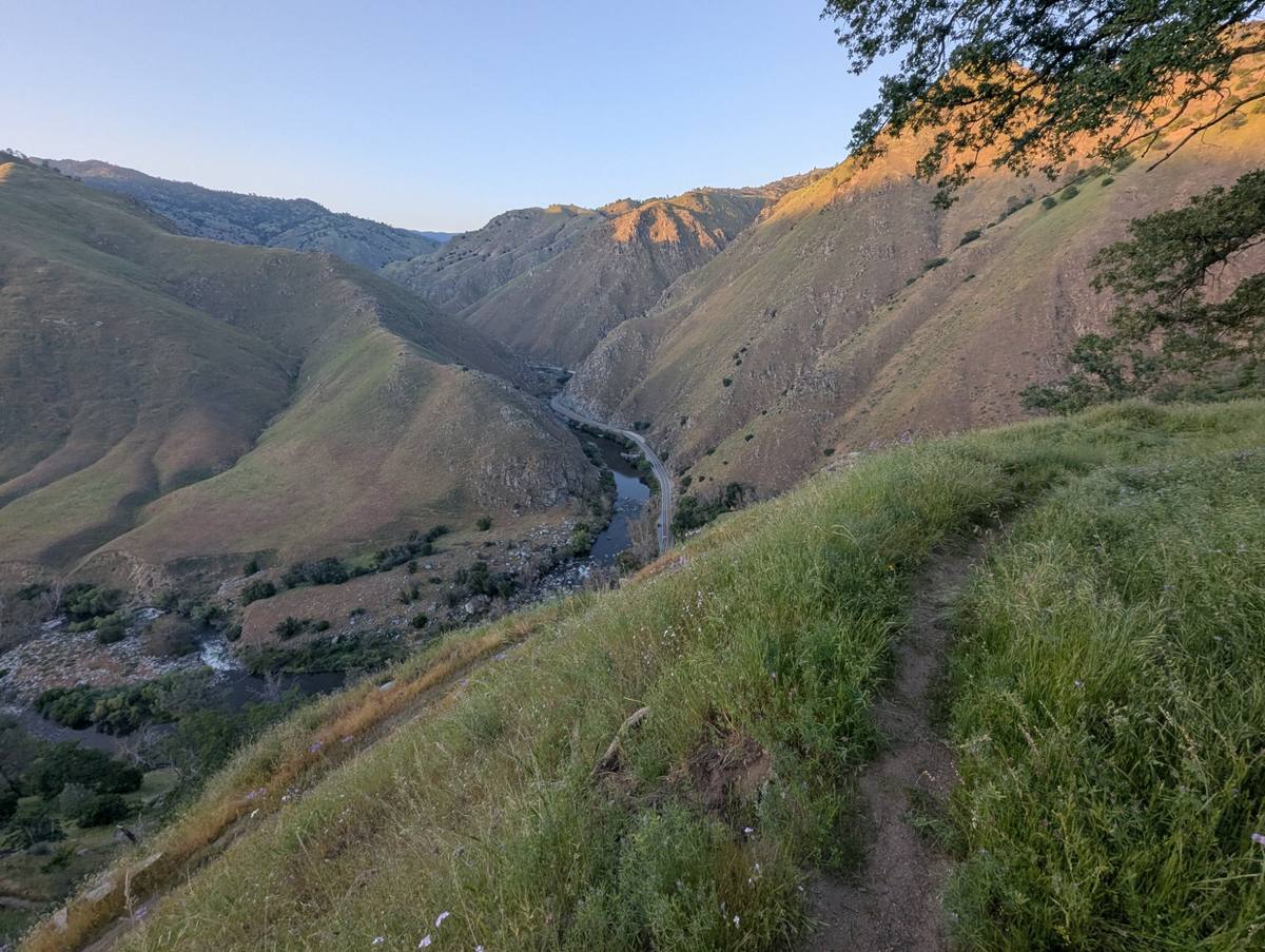
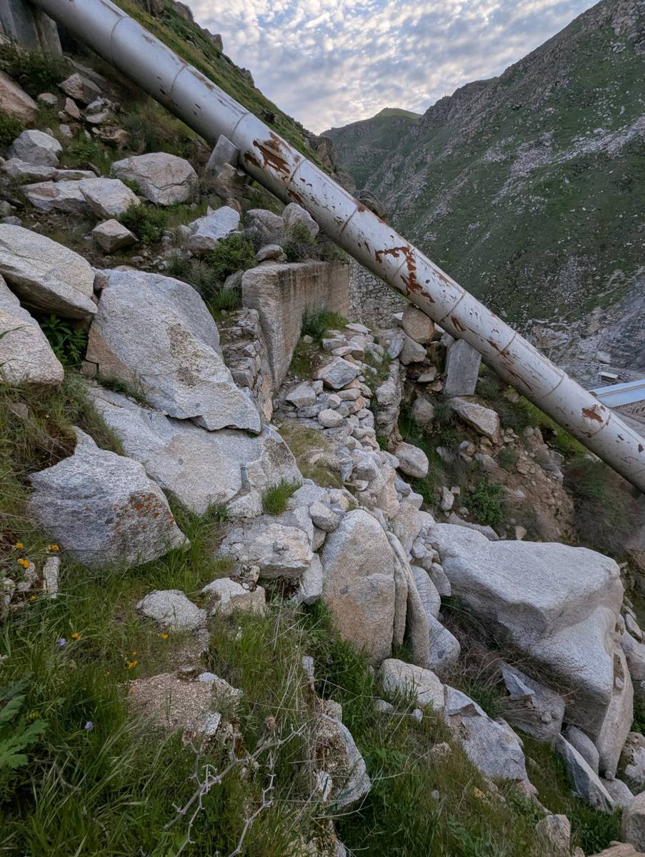
For this piece, Matthew hiked the proposed Kern Gateway Trail route to create a panoramic bird's-eye rendering of the lower Kern Canyon — complete with the proposed trail route, the Kern River, soaring raptors, and hand-lettered canyon features. He has generously donated this work to the Kern Gateway Trail cause. All proceeds from print sales go directly to funding the trail feasibility study.
Price
$60 per print
Format
16 × 20" museum-quality giclée reproduction
Edition
Limited run — orders fulfilled in batches
Proceeds
100% to Kern Gateway Trail
Prints are produced in batches — allow 4–6 weeks for delivery. All proceeds go directly to the Kern Gateway Trail feasibility study.
Order Now — $60 →
You'll be taken to our secure order page to complete your purchase.